Flooding Closes Schools In Waskom And Elysian Fields Today
No school today for students at any of the schools in Waskom or Elysian Fields Independent School Districts.

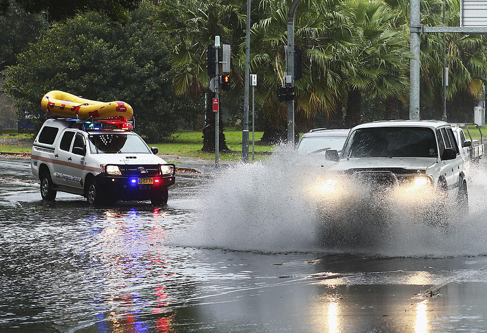
Due to the heavy rains we have received over the past few days which have caused some flash flooding and dangerous road conditions, the school districts took to social media to advise students and parents that the schools would be closed today and they would continue to monitor the weather to determine whether schools would remain closed on Tuesday, January 31.
On the Elysian Fields ISD Facebook page, we read:
All Elysian Fields ISD campuses will be closed for students and staff on tomorrow, Monday, January 30, due to flash flooding and road conditions. We will continue to monitor the weather and road conditions to make decisions for other days this week as necessary. Drive safely.

And looking at the Waskom ISD Facebook page, we see essentially the same message:
Waskom ISD will close Monday, January 30th due to flooding and road conditions. Stay safe and please do not cross roads that are covered with water. We will monitor the weather and road conditions to make a determination tomorrow about closing on Tuesday.
In addition to the heavy rains we have already received in the area, the National Weather Service in Shreveport has issued this Hazardous Weather Outlook that doesn't show much relief in sight:
Areas of rain will increase Monday afternoon and night and continue through late Thursday, ahead of slow moving upper level storm system that will shift east from Northern Mexico/the Desert Southwest into the Southern Plains and Lower Mississippi Valley. Widespread rainfall amounts of two to four inches are expected, with isolated higher
amounts, which will result in the potential for flooding of low lying, poor drainage areas as well as additional rises on area waterways. In addition, the potential for light freezing rain will exist Monday night and Tuesday morning and again Tuesday night and Wednesday morning over portions of extreme Northeast Texas, Southeast
Oklahoma, and Southwest Arkansas. At this time, no significant ice accumulations are expected, although icing of elevated objects such as bridges and overpasses, trees and power lines are possible.
https://forecast.weather.gov/product.php?site=NWS&issuedby=SHV&product=HWO
KEEP READING: Get answers to 51 of the most frequently asked weather questions...
More From K945, The Hit Music Channel