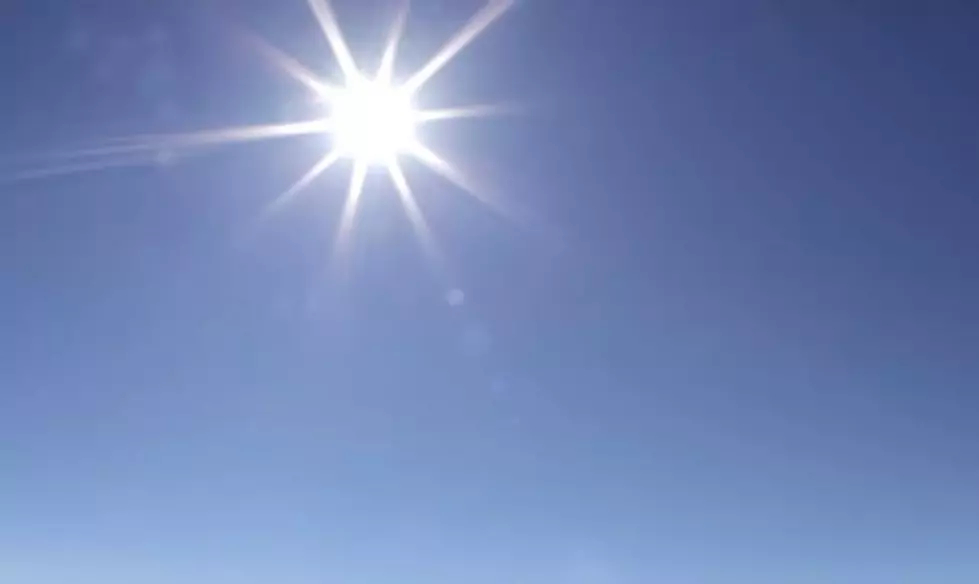
When Will Louisiana’s Heatwave Break?
The fact that a major roadway in Lafayette Louisiana buckled under the heat and the fact that Louisiana emergency rooms are doing a big business with heat stroke and heat exhaustion should be more than enough to convince even the most stubborn individuals in Louisiana that it's hot.
It's not middle of June hot, it's mid August hot and quite frankly we, the good citizens of the Bayou State are quite ready for this early start to summer to come to an end. First things first, let me enlighten you on today's hellish forecast.
The above graphic is provided by the National Weather Service Forecast Office in Lake Charles. And if I may say, the team at NWS LCH has been on top of this forecast from the beginning. Please pay attention to the information they are sharing because this is a very dangerous weather event. It won't make the headlines like the horrific storm Shreveport experienced earlier this week but people are dropping from the heat right and left.
So, not only do you need to prepare yourself, you need to be prepared to help someone else in the event they are overcome by the heat.
So, we know today's forecast doesn't call for a break in the heat. Neither does Monday's forecast or Tuesday's for that matter. But there could be some "chinks in Mother Natures furnace" showing up in the area by Wednesday.
No, the heatwave won't break completely and forecast highs are still in the middle 90s but there is an increase in the threat of showers and storms beginning Wednesday. Rain chances will rise to about 50% during the afternoon and early evening hours on Wednesday and might offer a bit of a cool down in some localized areas. Of course, after the rain comes the humidity to go along with the heat, so it's not a perfect scenario.
By Thursday rain chances in the afternoon will once again be about 50% or better but the forecast highs are only in the low 90s. Trust me, there's a huge difference, especially in the heat index, between 93 degrees and 98 degrees. But we're still going to stop short of saying the heatwave will break by Thursday.
Friday and Saturday temperatures look as if they'll climb back into the middle 90s so we could see another round of heat advisories heading into next weekend as well. It does look as if the last few days of June will be a bit cooler than what we are experiencing this weekend but temps are expected to rebound again into the upper 90s by the first weekend in July.
I guess what we are attempting to relay to you is this. The excessive heat is going to be here for at least another two weeks. There will be days when it won't be as bad. There will be days when your location will be cooled down by an afternoon thunderstorm. But don't expect "normal summer heat" to be the norm before the July 4th holiday.
At least we've got ice cream, right?
America's Top 10 Ice Cream Truck Favorites
More From K945, The Hit Music Channel