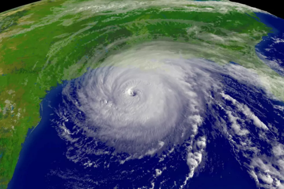
NASA’s New Hurricane Tracking Satellites Will Save Lives In Louisiana
I think we can all agree that hurricane season blows, both figuratively and literally. Being prone to flooding only compounds the problem. On the other hand, we can't exactly evacuate every time a circular storm full of misery blows ashore. So, how do you know if it's time to pack it up and head for the hills, or time to head down to the bar for human-made hurricanes?
You have to count on the weather-guy. The weather-guy is easy to spot. His hair is crazy looking, his nerves are shot, and he generally looks like he's been interrogated by Hulk Hogan for the last 32 hours.
That's because the weather-guy is getting his information from the National Weather Service, who in-turn gets it's information from loads of ground based radars and satellites circling this crazy blue marble. That long and complicated train of information takes time to get to the weather-guy, and while it's pretty quick - every second counts.
That's why the brand new satellites from NASA will make the whole process easier. The launch of CYGNESS satellites from the belly of a jet flying at nearly 40,000 feet in mid-December, allow us to observe tropical weather (hurricanes and tropical storms) every 90 minutes! That means we see the formation, and track the growth of these storms much faster! This huge influx of information will give us precious time to make the decision on if we should evacuate or hunker down. In the case of an evacuation, this time could save hundreds, if not thousands of lives. It will also give us more time to fortify areas in the storms path that would sustain severe damage - that will save millions of dollars in repairs!


