Nearly a Foot of Snow Forecast for Shreveport Bossier!
Shreveport Bossier and the entire region is expecting a whopper of a winter storm system over the next week. Meteorologist Richard Lewelling with The Weather Channel tells KEEL News we will get two major winter blasts over the next five days.
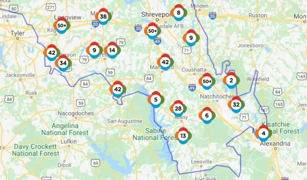
The first system is expected to arrive Sunday evening and continuing into Monday. Lewelling calls this "an epic winter event". The Shreveport Bossier area could get 4 to 6 inches of snow during this first wave. The areas most likely impacted will be Northern parts of Caddo, Bossier and Webster Parishes.
Lewelling says Southwest Louisiana will experience a "crippling" ice storm that will impact that entire region.
Our low temperature on Monday night is expected to be 9 degrees which is a record. That means, none of the snow that falls will be melting. It will hang around in the area. And then the second wave of winter precipitation is expected to arrive Tuesday night into Wednesday. We could see 3 to 5 inches of snow during the second wave.
That means our total between Sunday and Thursday could be between 7 and 11 inches of snow. Lewelling does says this looks like it will be a snow event for Shreveport Bossier, but more of an ice event for much of Southwest and Central Louisiana.
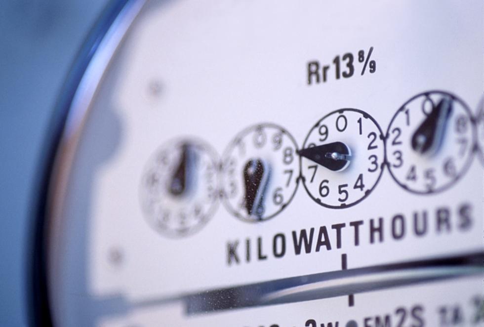
You should take steps now to protect your outdoor pipes and make sure you have enough supplies on hand in case you can not get out to pick up things you might need. He also says we will probably have some power outages as a result of this winter event.

Read More: Winter Safety Tips
TIPS: Here's how you can prepare for power outages
KEEP READING: Get answers to 51 of the most frequently asked weather questions...
More From K945, The Hit Music Channel