Hurricane Barry – The Video, Now Available from Weather Service
One of the major advances in hurricane forecasting has come with the development of better technology that allows forecasters to see all angles of the developing storm systems. The National Weather Service has just made available some very interesting views of 2019's named systems.
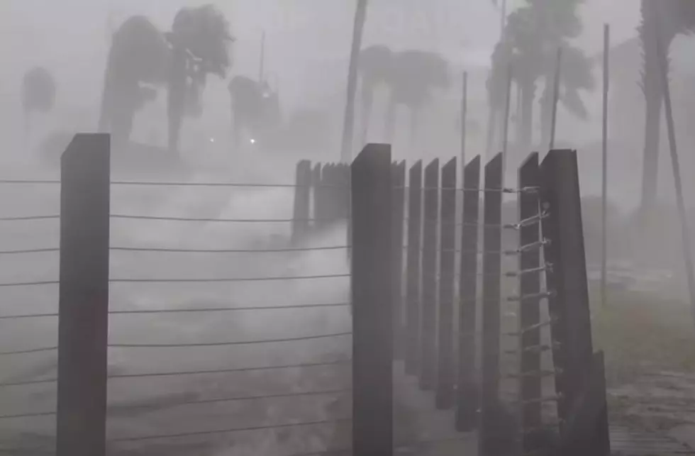
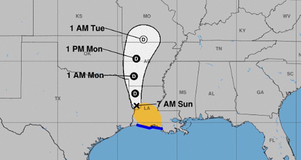
Among those systems, you might recall, was Hurricane Barry. Barry actually made landfall along Louisiana's coast in July of last year. The storm thought originally to be a very strong tropical storm, actually reached hurricane intensity just before landfall.
The video you see above gives a better than a bird's eye view of how the storm developed and how it moved. But wait, there's more as the late Billy Mays would say. The National Weather Service also has enhanced radar site views of the storm.
This allows forecasters and investigators to view where the strongest storms associated with the system formed and how they moved in conjunction with the system. This kind of information will help emergency planners in better understanding what part of a hurricane's path causes the most destruction.
The service allows you to sneak a peek at storms from as far back as 1995. Obviously, the further back in time you go, the less video quality you can expect.
Why is this important?
Well, we might never be able to stop a hurricane but if we can better understand where our coastal populations are at greater risk and how to mitigate that risk, then we'll all be better off and a lot safer to boot.
More From K945, The Hit Music Channel