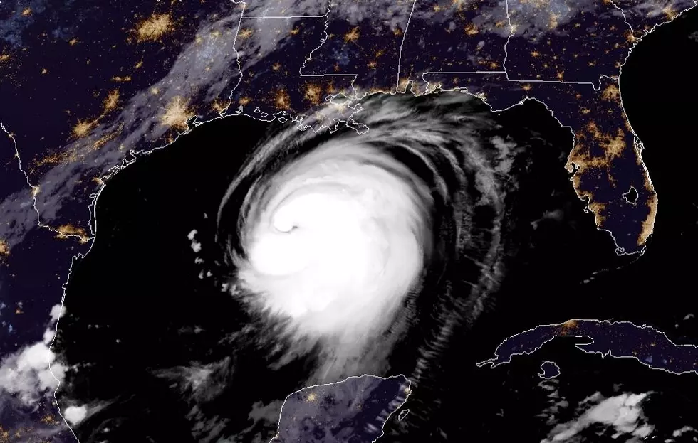
![Hurricane Delta: Will Louisiana Take Another Big Hit? [VIDEO]](http://townsquare.media/site/180/files/2020/10/hurricane-1.jpg?w=980&q=75)
Hurricane Delta: Will Louisiana Take Another Big Hit? [VIDEO]
Meteorologist Richard Lewelling from the Weather Channel gives the latest information on Hurricane Delta, including the path projection, possible damage to south Louisiana and the storm's effect on our part of the state.
"Delta looks like it's going to end up making landfall close to Avery Island and will probably end up moving into south central (Louisiana) and, eventually, northeast Louisiana," Lewelling says. "It looks like this one is going to be a little bit further to the east compared to (Hurricane) Laura. It's not going to be a direst hit for those of us in Shreveport, but areas down to our south and east have a chance to see some tropical storm force winds. Sabine, Natchitoches, Winn, Caldwell, Grant and LaSalle Parishes are currently under tropical storm watches."
And when should folks in the ArkLaTex expect the remnants of Delta to hit? "It looks like the winds are going to start to pick up tomorrow afternoon and linger through Saturday morning. The strongest wind gusts they'll probably see is in the 30 to 40 mile per hour range with some gusts up to 55."
And what about the already heavily damaged part of south Louisiana, still recovering from late August's Hurricane Laura? "They did the wise thing by ordering some evacuations down there in Calcasieu Parish. They're probably going to some hurricane force winds around Lake Charles. I think the worst of the weather will be a little further toward Lafayette...and stretching toward Baton Rouge. Then, as the storm moves on up toward Alexandria, them move east of Monroe toward Vicksburg is where we expect the track to go."
10 Commandments of Southern Cooking
More From K945, The Hit Music Channel


![Hurricane Delta Destroys Vehicle Canopy at Townsquare Media [Video]](http://townsquare.media/site/33/files/2020/10/20201010_054310-01.jpeg?w=980&q=75)


![Hurricane Delta – What You Need to Know [0400 am Update]](http://townsquare.media/site/33/files/2020/10/Oct-9-Hurricane-Delta.jpg?w=980&q=75)