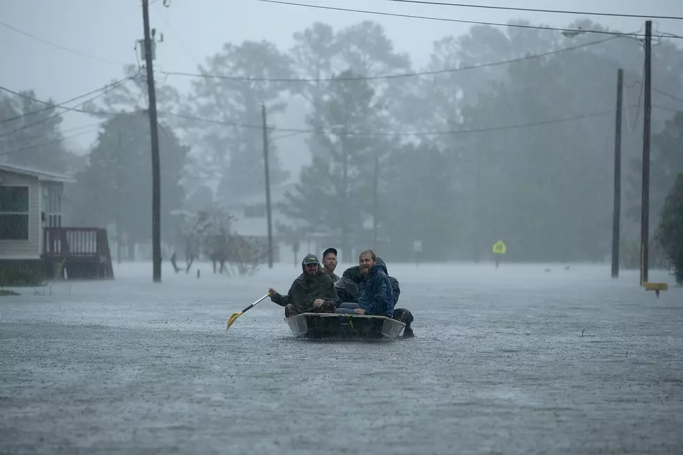
Lake Charles Area Could See 15-ft Storm Surge from Laura
As the hours pass, hurricane models continue to track the routes of Marco and Laura.
As of this writing, most models are currently tracking Hurricane Laura directly into the South Louisiana coastline later this week. From there, the storm is expected to take a straight-line approach directly up Louisiana. That track puts Laura on a warpath with Lake Charles, and some models predict an incredibly storm surge for the area.
Talking about Laura, Calcasieu Emergency Preparedness director Dick Gremillion says, "Really a greater concern is the storm surge. They are predicting ten to fifteen feet storm surge.” This statement came in regards to the storms potential massive winds.
Despite not being a coastline city, Lake Charles is unfortunately vulnerable to hurricanes and tropical storms. The city battled through intense flooding and damage with Hurricane Ike in 2008 and Hurricane Rita in 2005. Due to it's marshland surroundings and shipping channels from the Gulf of Mexico, the Lake Charles area is always on high-alert when it comes to hurricanes and tropical storms.
Models show Laura sitting just shy of category three strength upon landfall. Currently, there are voluntary evacuation recommendations in the region.
Gremillion says category threes usually trigger mandatory evacuation orders but it would be too late at this point to call for a mandatory evacuation.
If you're in the Lake Charles area and reside in a travel trailer, unsecured mobile home, or a storm surge area, you need to seek other shelter.
Buckle up Louisiana, this could be a long, wet week.
Read More: Ten Things You Can't Do With Mask On
More From K945, The Hit Music Channel