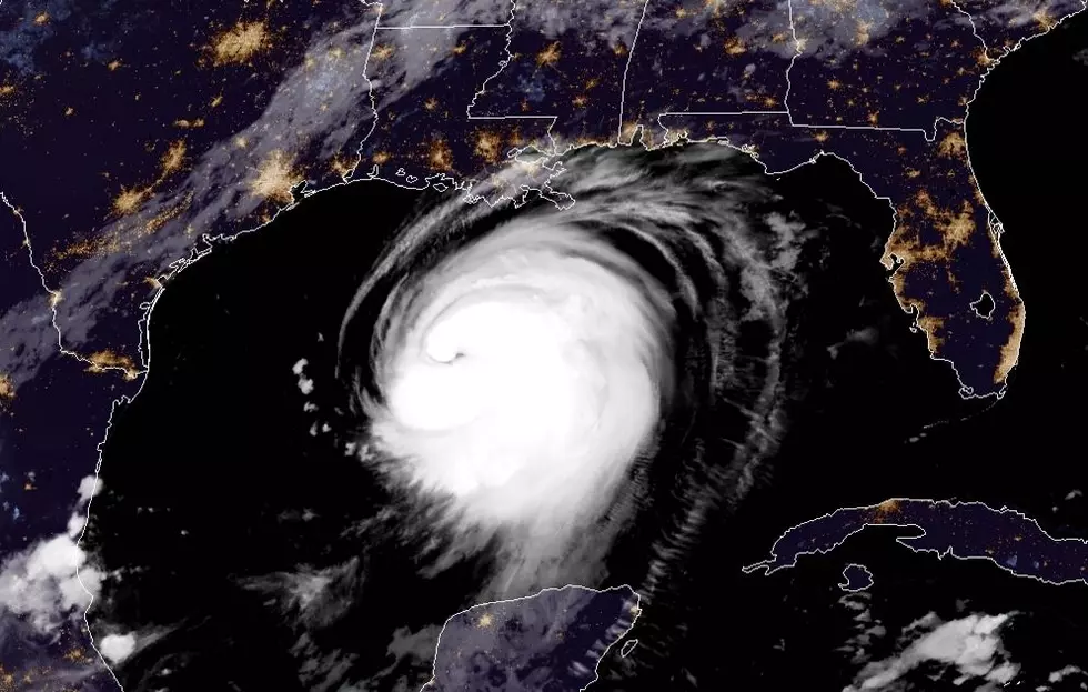
Tropical Storm Eta Makes Landfall Near Cedar Key Florida
One of the most meandering tropical cyclones in recent history has made a fourth landfall. About 3:20 Louisiana time, Tropical Storm Eta's center of circulation crossed the Gulf Coast of western Florida near Cedar Key. At the time, the storm was packing sustained winds of 50 mph with gusts approaching hurricane force.
The National Hurricane Center is forecasting that the system will continue to move in a northeasterly direction at about 13 mph for the balance of the day. This direction and motion should carry the storm's center across the Florida Peninsula and back into the waters of the Atlantic Ocean by this time tomorrow.
From there, Eta is expected to move rapidly toward the northeast and out to sea. This should be the final stop for the late season system that begin almost two weeks ago as an area of disturbed weather in the Caribbean Sea. The storm then developed into a major hurricane as it made landfall in Nicaragua.
Eta has made landfalls in Nicaragua, Cuba, and now twice in Florida during its life span. A life span that we hope will soon be coming to a close.
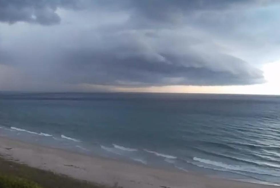
Elsewhere in the tropics, Tropical Storm Theta continues to push toward Europe and is not expected to be a threat to any major landmass. Meanwhile, an area of disturbed weather in the Caribbean, very close to where Eta got its start, is expected to become a tropical cyclone sometime later today or early tomorrow.
In fact, this system is, unfortunately, forecast to impact the areas of Central America that were just impacted by Eta last week. Unlike Eta, this system is expected to move across Central America and either dissipate or move into the waters of the Pacific Ocean.
The Nine Small Appliances Every Young Adult Needs
More From K945, The Hit Music Channel