New Tropical Storm Could Impact Louisiana Weather Next Week
As a kid, anytime I would use the "If" word, my Dad would hit me with his favorite "If" cliche. "If a frog had wings, he wouldn't bump his butt."

In the case of Louisiana weather, "If" becomes a lot more common than any winged frogs, and in this case, the "If" could mean that nasty weather is headed our way.
"If" The Wave Becomes A Storm, It Could Be Heading Our Way
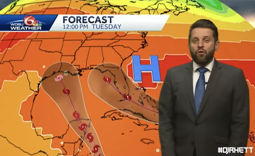
At this time, the National Hurricane Center in Miami, has issued advisories on Hurricane Fiona, located near the Turks and Caicos islands, and on Tropical Storm Gaston, located over the north-central Atlantic Ocean.
In addition to these advisories, the National Hurricane Center is monitoring a tropical wave which is producing shower and thunderstorm activity a few hundred miles east of the Windward Islands, which are in the foot of the Caribbean Sea. The system continues to show signs of organization and it will likely become a tropical
depression within the next two or three days. The disturbance is forecast to move west-northwestward across the southern Windward Islands late today and then move toward the central Caribbean Sea late this week.
How Would This Affect Louisiana?
In an article from the Louisiana Radio Network, we see that Louisiana State Climatologist Barry Keim is considering the possibility that this potential storm, which will be named Hermine if it develops into a named storm, could move into the Gulf of Mexico, and potentially Louisiana, as early as late next week.
Keim said, “Both the American and European models are both bringing this storm into the Gulf in about a week and they’re both bringing it here as a pretty bad storm.”
Keim did acknowledge that we are still a little early in this game and that forecasters will know more in about a week. He explained, “It’s too far out to get worked up about, but the danger is sufficient that we absolutely out to be keeping an eye towards the tropics.”
KEEP READING: Get answers to 51 of the most frequently asked weather questions...
LOOK: The most expensive weather and climate disasters in recent decades
More From K945, The Hit Music Channel


![Local Damage Caused By Hurricane Laura [GALLERY]](http://townsquare.media/site/180/files/2020/08/Tree-Down-1.jpg?w=980&q=75)


