Tropical Threat Possible in Gulf This Week
At the beginning of this month we told you there was at least one long range tropical forecast that put a tropical threat in the Gulf of Mexico on or near July 23rd and 24th. That forecast was from the Old Farmer's Almanac and I'll be gosh darned if they don't appear to be correct, again.
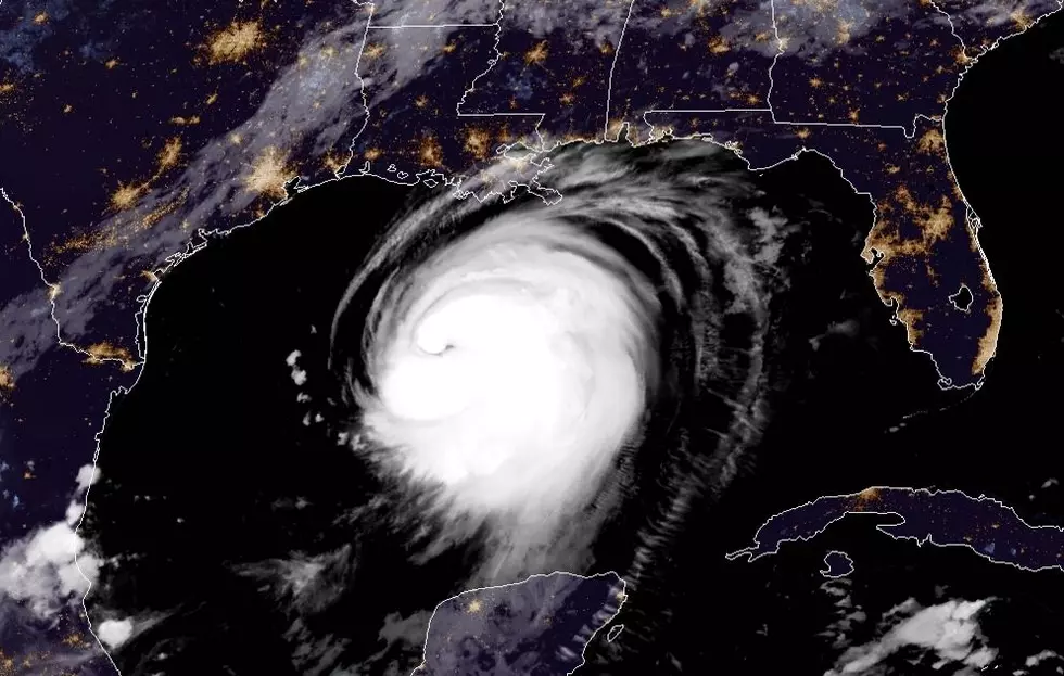
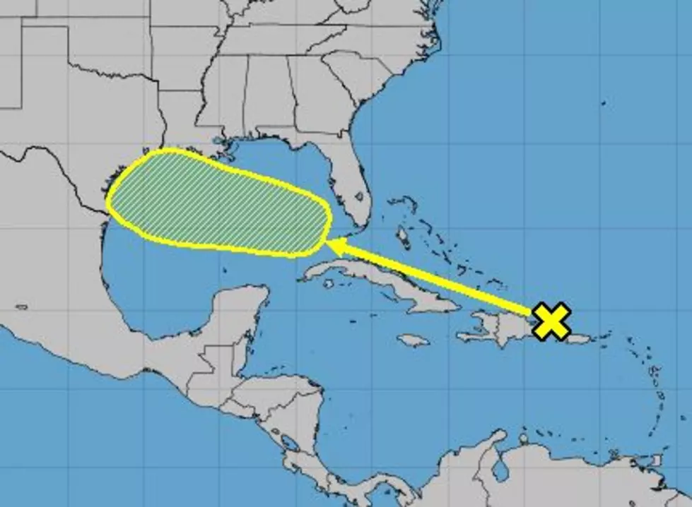
The National Hurricane Center is now watching an area of disturbed weather near the Dominican Republic that is expected to move rapidly toward the northwest and into the Gulf of Mexico by later this week. You know, around July 23rd and 24th, just like the Old Farmers Almanac predicted.
As of now, the Hurricane Center forecasters are not giving this system much of a chance to develop. The probability for strengthening is only 20% over the next five days. But conditions for further development do improve Wednesday and Thursday once the system is in the Gulf of Mexico.
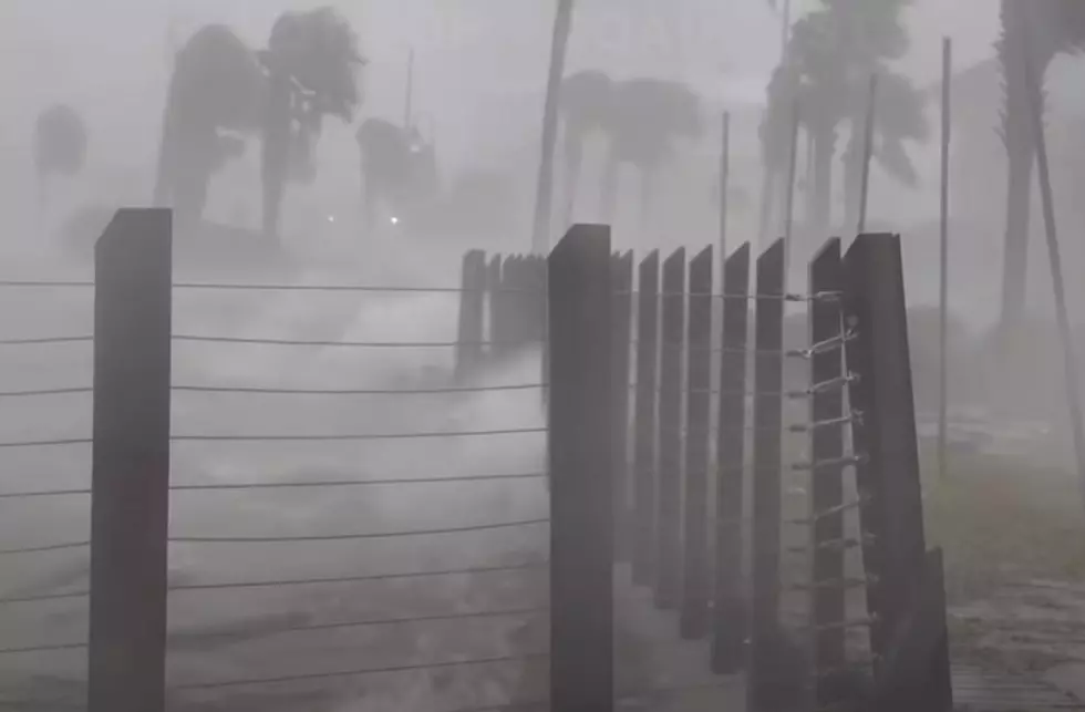
As always with any tropical system or potential tropical system "wait and see" is really the only thing we can do at this point. It's always a great idea to review your hurricane preparation plans every month or so. Especially with the current pandemic state of things.
While a lot of the tropical forecast models are not picking this system up just yet, the mainland forecasts from the National Weather Service Office are certainly suggesting an enhanced threat of rain for later in the week. Let's hope all this system becomes is a rainmaker and let's hope, it's not the kind of rainmaker that requires the services of the National Guard or any of the branches of the Cajun Navy.
.
Historic Lafayette Photos You've Probably Never Seen
More From K945, The Hit Music Channel