Latest Forecast Has Shreveport Bracing For Possible Severe Weather
The National Weather Service in Shreveport might have just cancelled Thursday evening's baseball or softball practice for the kids.

Forecasters for the service indicate that a portion of the Ark-La-Tex area is at an "Enhanced Risk" of severe weather moving into the area late Thursday and most of the remaining area is at a "Slight Risk"
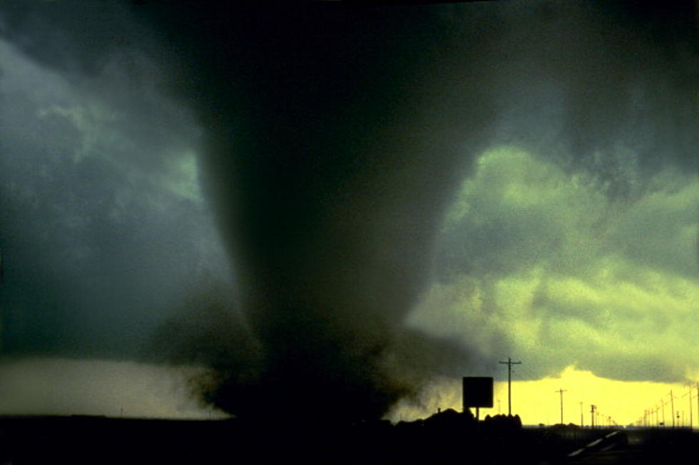
Most of the heavy rain is expected to occur near and southeast of the I-30 corridor and along with the heavy rain, we are at a slight risk of damaging winds up to 70 miles per hour, golf ball sized hail and a low to medium threat of possible isolated tornadoes.
Included in the NWS forecast is the Slight Risk of excessive heavy rainfall Thursday through Friday morning, and as the forecast map above indicates, some of the heaviest rain could fall in the immediate Shreveport/Bossier area with the possibility of as much as three inches falling over the period.
The remainder of the Ark-La-Tex area should prepare for rainfall amounts ranging from 1.5 to 2 inches of rain.
Weather experts warn that driving conditions could prove hazardous for roadways in flood prone areas and those with poor drainage.
Obviously we will have more information as the storms approach the area and we will be sure to keep you posted here online and on the radio.
KEEP READING: Get answers to 51 of the most frequently asked weather questions...
LOOK: The most expensive weather and climate disasters in recent decades
More From K945, The Hit Music Channel


![Local Damage Caused By Hurricane Laura [GALLERY]](http://townsquare.media/site/180/files/2020/08/Tree-Down-1.jpg?w=980&q=75)

