Shreveport Has a ‘Marginal’ Risk of Severe Storms – Here’s What That Means

The past couple of weeks have been wild. We went from having several inches of snow and ice on the ground to it being 80 with a chance of severe thunderstorms. One thing you can say for sure about Louisiana weather is that if you don't like it, it'll change pretty quickly.
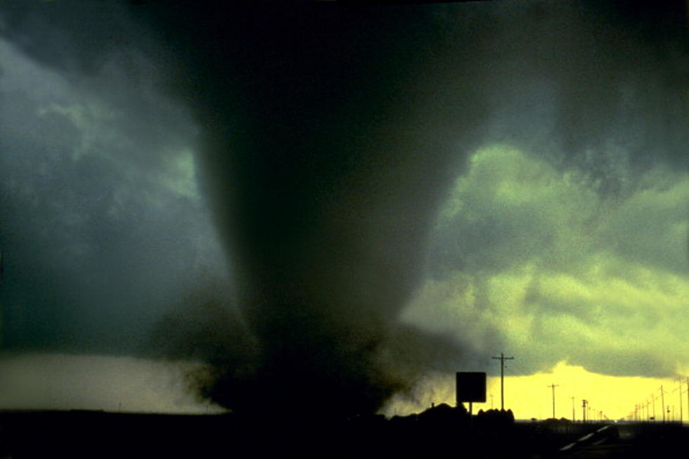
With that said, this evening (Thursday February 25th) there's a chance we see some more extreme weather. Except, instead of ice and snow, this time there's a chance of hail, tornadoes, thunderstorms and the like. According to the National Weather Service - Shreveport, there's a 'marginal risk' of extreme weather. And I got to thinking...what exactly does that mean?
According to KCEN-TV, this is what a 'marginal risk' of extreme weather mean in metrological terms:
A marginal risk means isolated severe storms are possible, with the threat of isolated damaging winds, small hail and maybe a tornado.
So, basically, it means that things could get rough in some areas but it is not likely to be widespread. The National Weather Service says that our area could see 60-70 mph winds, quarter sized hail and a very low potential for tornadic activity.
After last week's wild weather, I think we're all hoping the Barksdale Bubble shuts this storm down before it gets started. Because, I don't think most of us mentally are prepared for another life threatening weather event. Plus, half of the community is still trying to get on their feet after last week.
Read More: Why Does It Only Hail in Summer? And Other Weird Weather Facts
LOOK: Here are the best small towns to live in across America
More From K945, The Hit Music Channel